PRAP Image Database
Image 143.01

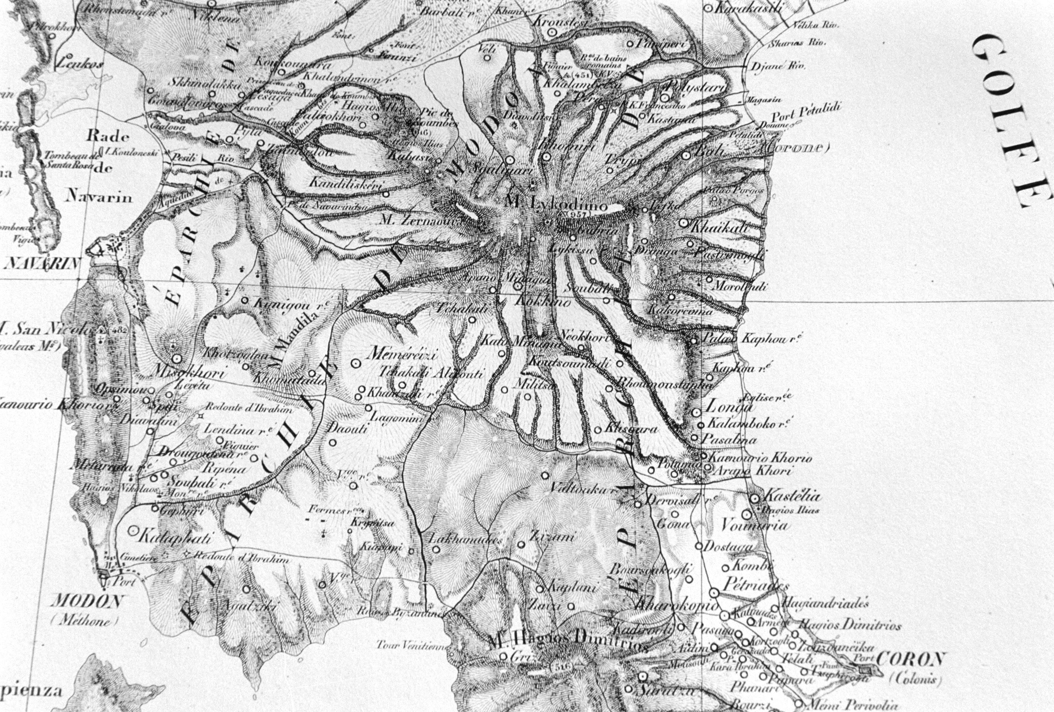
Unedited/Preliminary Label Excerpt from General Pelet's map, shoing western Messenia. From M. Bory de Saint-Vincent, Expedition scientifique de Moree: section des science physiques. Atlas. Paris: F.G. Levrault, 1834-1836. Produced from the same negative as Frame 04.
Film Type
All texts and images made available through The Pylos Regional Archaeological Project: Internet Edition are for personal use only. Reproduction of these materials without prior permission is prohibited.
Questions about the PRAP online database can be addressed to John Wallrodt at john.wallrodt@uc.edu.