
The Site of Nemea
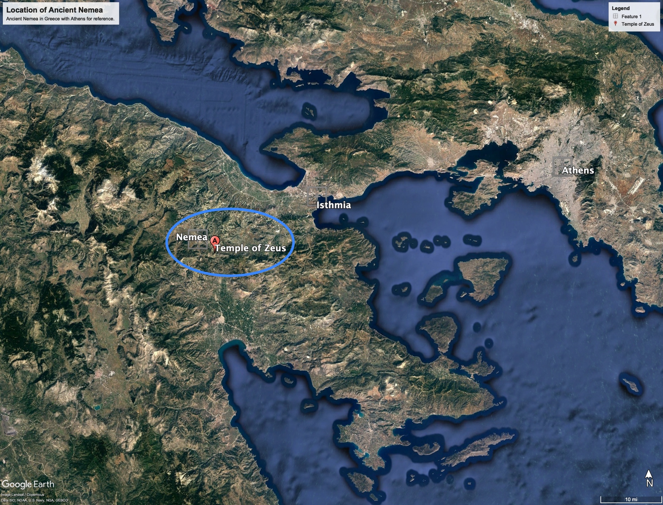
The ancient site of Nemea sits in the northeastern Peloponnese of Greece, specifically located in the region of Corinthia. Over a span of the late 19th to the early 20th century, the site – known from the still-standing three columns of the Temple of Zeus – was explored initially by the French in 1912. In 1924, the French ceded their rights back to the Greek government, and an American team received permission to more fully excavate the site.
Working on behalf of the Department of Classics at the University of Cincinnati, Carl W. Blegen (then Assistant Director of the American School of Classical Studies at Athens) and his team revealed centuries of Greek culture during their 1924-1927 campaigns. Numerous finds and buildings at and around Nemea can be dated as far back as the Neolithic (starting approximately 6500 B.C.E.), both leaving an immense number of remains (ranging from the monumental to the miniature) and also providing a sense of a living and evolving community.
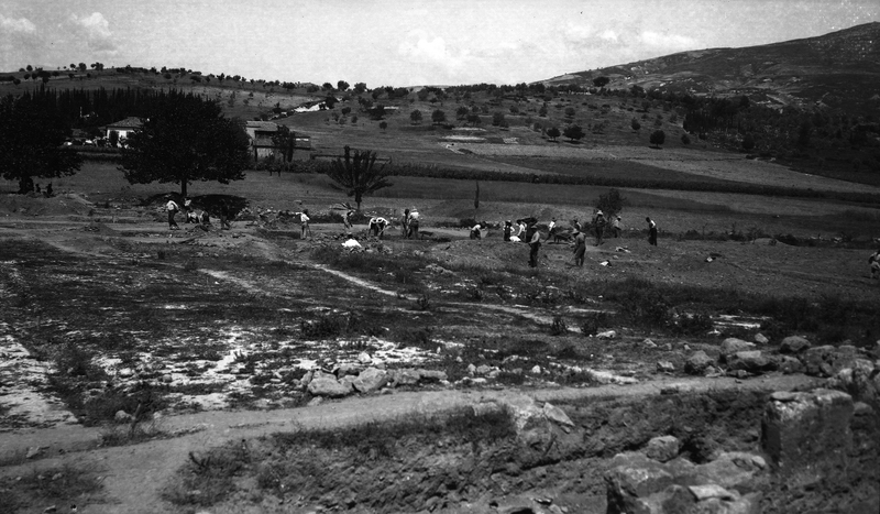
General View of Nemea in 1924 (Copyright University of California, Berekely, Department of Ancient Greek & Roman Studies, Nemea Center for Classical Archaeology)
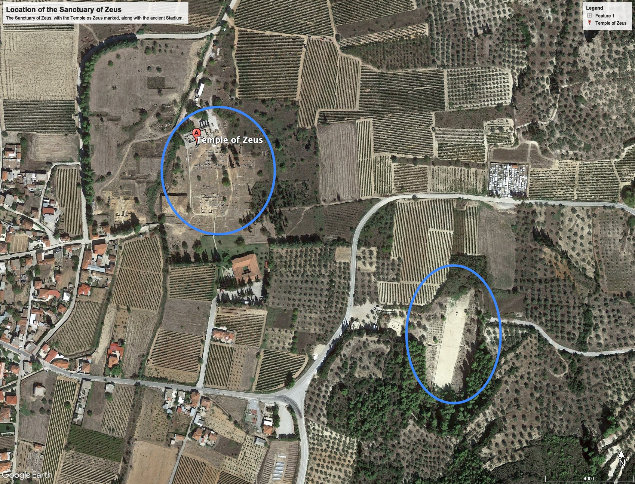
This exhibit will focus only on two important areas from and near the site that Blegen’s team excavated: 1) the hill of Tsoungiza, especially the so-called “cave” and 2) the votive deposit also known as the “Rawson Deposit.” The sanctuary, including the massive Temple to Zeus, and the Stadium were, perhaps, more important foci of Blegen’s excavations, but those results have been reexamined by University of California, Berkeley teams, and should be read in conjunction with the conclusions of these later excavators.