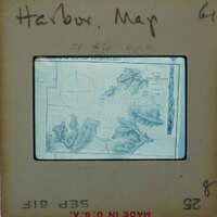
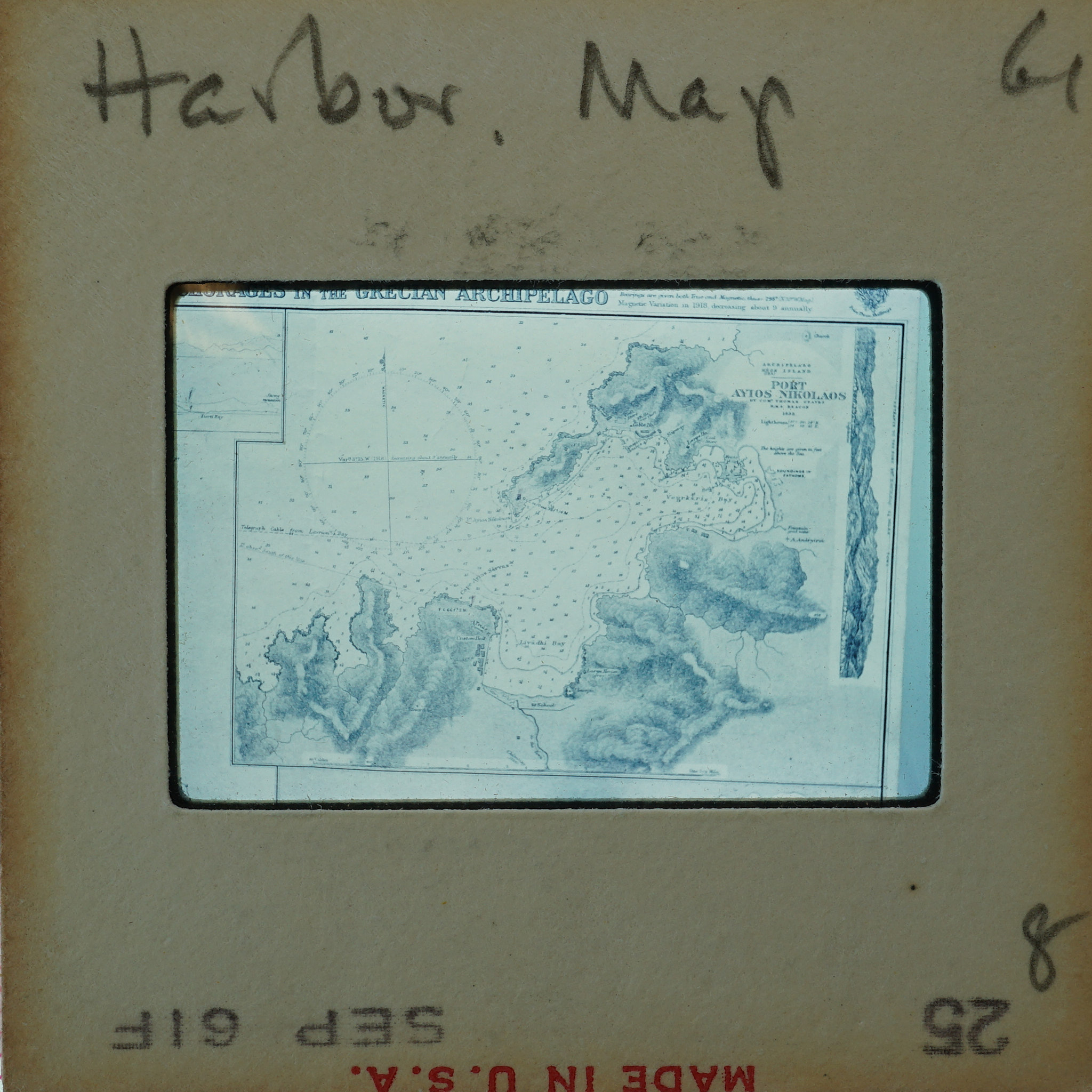
Historic Map of the Kea Harbor
Item
- Identifier
- EKEA-52-3-3
- Title
- Historic Map of the Kea Harbor
- Type
- Image
- Language
- English
- Medium
- 35mm slide
- Description
- Frame inscribed: Harbor Map 61 8.
- Temporal Coverage
- Modern
- Spatial Coverage
- Kea/Keos Greece
- Subject
- EKEA_52_3_3
- Creator
- Kea Excavation Team
- Date
- 1961
- Rights
- In Copyright
- Publisher
- University of Cincinnati. Department of Classics